File:LocationBritishIsles.png: Difference between revisions
Jump to navigation
Jump to search
imported>Wahib Frank ({{ Information |Description= Drawing showing the location of the British Isles (geographical terms) |Source= from http://en.wikipedia.org/wiki/Image:LocationBritishIsles.png#filehistory |Date= 11 February 2005 |Author= This image has been (or is hereby) released into the public domain by its author, Vardion at the English Wikipedia project. This applies worldwide. In case this is not legally possible: Vardion grants anyone the right to use this work for any purpose, without any conditio...) |
(== Summary == Importing file) Tag: Server-side upload |
||
| (2 intermediate revisions by 2 users not shown) | |||
| Line 1: | Line 1: | ||
== Summary == | == Summary == | ||
Importing file | |||
Latest revision as of 19:56, 11 March 2022
Summary
Importing file
File history
Click on a date/time to view the file as it appeared at that time.
| Date/Time | Thumbnail | Dimensions | User | Comment | |
|---|---|---|---|---|---|
| current | 19:56, 11 March 2022 | 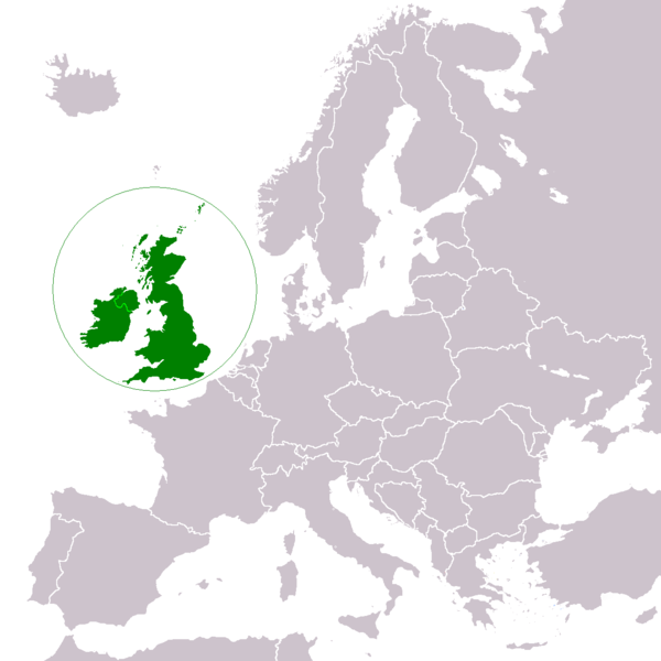 | 600 × 600 (111 KB) | Maintenance script (talk | contribs) | == Summary == Importing file |
You cannot overwrite this file.
File usage
The following page uses this file: